In an increasingly connected and digital world, understanding our geography—both physical and human—is more important than ever. Whether you’re a student, teacher, traveler, or lifelong learner, the need for accurate, engaging geographic tools is growing. This is where JR GEO comes in — a dynamic platform designed to make geography accessible, interactive, and fun.
What Is JR GEO?
A Platform for Geographic Exploration
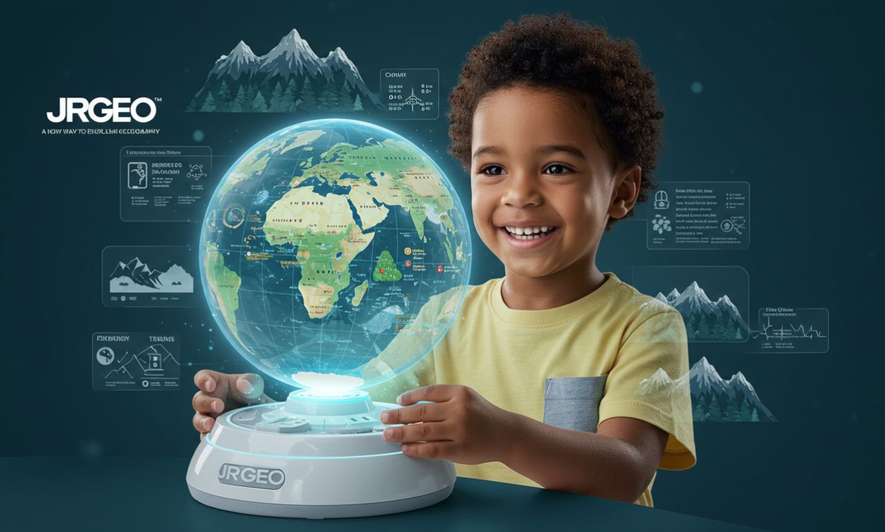
JR GEO is a learning and discovery platform focused on geography, maps, and spatial awareness. The platform integrates interactive content, satellite imagery, real-time data, and educational tools to engage users of all ages.
Think of it as a bridge between traditional geography education and modern digital experiences, combining exploration, science, and technology into one user-friendly ecosystem.
Who Is JR GEO For?
JR GEO is designed for:
-
Students from elementary to high school
-
Educators teaching geography, science, or earth studies
-
Travel enthusiasts and explorers
-
Parents and homeschoolers
-
Geospatial hobbyists and GIS beginners
It takes complex data and concepts and makes them understandable—even exciting—for users at every level.
Key Features of JR GEO
1. Interactive World Maps
At the heart of JR GEO is a highly responsive, zoomable, and layer-rich interactive world map. Users can explore continents, countries, cities, and even landscapes in real time. The map includes features like:
-
Topographical overlays
-
Climate zones
-
Population density visualizations
-
Real-time weather data
-
Biodiversity hotspots
This makes the learning experience both visual and immersive, far beyond what static maps in textbooks can offer.
2. Geospatial Learning Modules
JR GEO offers structured educational modules aligned with international geography curricula. These include:
-
Landforms and physical geography
-
Human geography and urban development
-
Environmental science and ecosystems
-
Climate change and sustainability
-
Cartography and map-reading skills
Lessons come with interactive quizzes, visuals, and real-life case studies, making it ideal for classroom or remote learning.
3. Augmented Reality (AR) Experiences
Using a mobile device, students can explore 3D terrain, mountains, rivers, and even simulate tectonic plate movements with AR overlays. JR GEO’s AR features help bridge the gap between abstract concepts and real-world understanding.
4. Geo-Challenges and Quizzes
Gamified learning is a major focus of JR GEO. Users can take part in map-based challenges, such as:
-
Pinpointing capitals on a blank map
-
Matching flags with countries
-
Tracking the course of major rivers
-
Solving climate or population puzzles
These challenges help reinforce knowledge while making learning fun and engaging.
Why JR GEO Matters Today
Making Geography Exciting Again
Geography is sometimes seen as a dry subject. JR GEO turns that perception around by turning it into an interactive adventure. Students aren’t just memorizing capitals—they’re understanding how landscapes shape culture, how climate affects people, and how borders evolve.
Addressing Real-World Issues
JR GEO helps learners make sense of urgent global challenges, such as:
-
Climate change and rising sea levels
-
Urbanization and sustainable cities
-
Migration and geopolitical shifts
-
Natural disasters and emergency preparedness
By integrating live data and real-world events, the platform connects education to current affairs.
Empowering Digital Literacy
Understanding maps, reading satellite imagery, and using location-based tools are now part of everyday digital literacy. JR GEO helps students and users build these skills naturally through use.
JR GEO for Educators
Classroom Integration
Teachers can easily integrate JR GEO into their lesson plans. The platform provides:
-
Ready-to-use slides and teaching materials
-
Student tracking and progress reports
-
Group activities and collaborative projects
-
Custom quiz creation for assessments
This makes it ideal for use in physical classrooms, hybrid models, or fully remote learning environments.
Encouraging Critical Thinking
Each topic on JR GEO is framed with discussion prompts and thought-provoking questions. For example:
-
How does geography influence global trade?
-
What are the human impacts of deforestation in the Amazon?
-
How can cities adapt to rising sea levels?
This encourages deeper exploration beyond facts and dates.
JR GEO in the Broader Educational Ecosystem
For Parents and Homeschoolers
JR GEO is a perfect companion for homeschooling families. It offers:
-
Self-paced modules
-
Interactive experiences for younger learners
-
Printable activity sheets and map exercises
-
Real-world explorations that inspire curiosity
It brings geography to life without requiring advanced teaching expertise.
For Government and NGOs
Development agencies and NGOs can also use JR GEO as an educational outreach tool, especially in environmental campaigns, disaster preparedness, or sustainability training.
Expanding Capabilities with JR GEO Pro
For more advanced users, JR GEO Pro offers enhanced features:
-
GIS-lite tools for analyzing spatial data
-
Import/export of map layers for research projects
-
Access to historical satellite archives
-
Community forums for geospatial enthusiasts
This version is perfect for students doing independent research, or for educators looking to deepen their use of digital mapping tools.
JR GEO and Sustainability Education
Teaching Climate Literacy
Understanding how geography relates to environmental science is a key goal of JR GEO. The platform offers modules on:
-
Renewable energy potential by region
-
Water scarcity and drought patterns
-
Forest coverage changes over time
-
Species migration due to temperature shifts
These tools help students visualize climate impact and think critically about environmental solutions.
Promoting Global Citizenship
JR GEO promotes geographic empathy — helping users understand how people in different regions live, what challenges they face, and how geography influences quality of life.
This global perspective helps nurture responsible global citizens who are better prepared to engage with the world around them.
The Technology Behind JR GEO
JR GEO is powered by:
-
OpenStreetMap and proprietary map layers
-
Satellite data from NASA and ESA
-
Cloud-based infrastructure for fast access and scalability
-
Mobile compatibility with iOS and Android devices
The platform uses AI to customize learning experiences and recommend topics based on user activity.
Community and Collaboration
JR GEO allows users to:
-
Create custom map projects and share them
-
Comment on lessons and collaborate with classmates
-
Join virtual expeditions to learn about new regions together
-
Contribute data (e.g., crowd-sourced mapping projects)
This fosters a learning community where knowledge grows collaboratively.
Future Plans for JR GEO
Virtual Expeditions
JR GEO is developing immersive, guided virtual field trips — such as exploring volcanoes, walking through rainforests, or visiting iconic cities — all from the classroom.
Language and Localization Support
To reach a global audience, JR GEO will offer content in multiple languages and tailored regional modules to align with different educational systems.
Integration with AI Tutors
Personalized support through AI learning assistants will help guide students based on performance, ensuring that no learner falls behind.
Final Thoughts
JR GEO is more than just a map platform — it’s a revolution in geographic education. By merging interactivity, modern tech, and real-world relevance, it brings geography to life in ways textbooks never could. For students, teachers, or anyone curious about our planet, JR offers a smart, engaging, and empowering path forward.